A visual journey through ten landscapes of Sambava and the SAVA region. Scroll to explore the town, vanilla, coconut groves, Marojejy and the rice fields of Andapa.
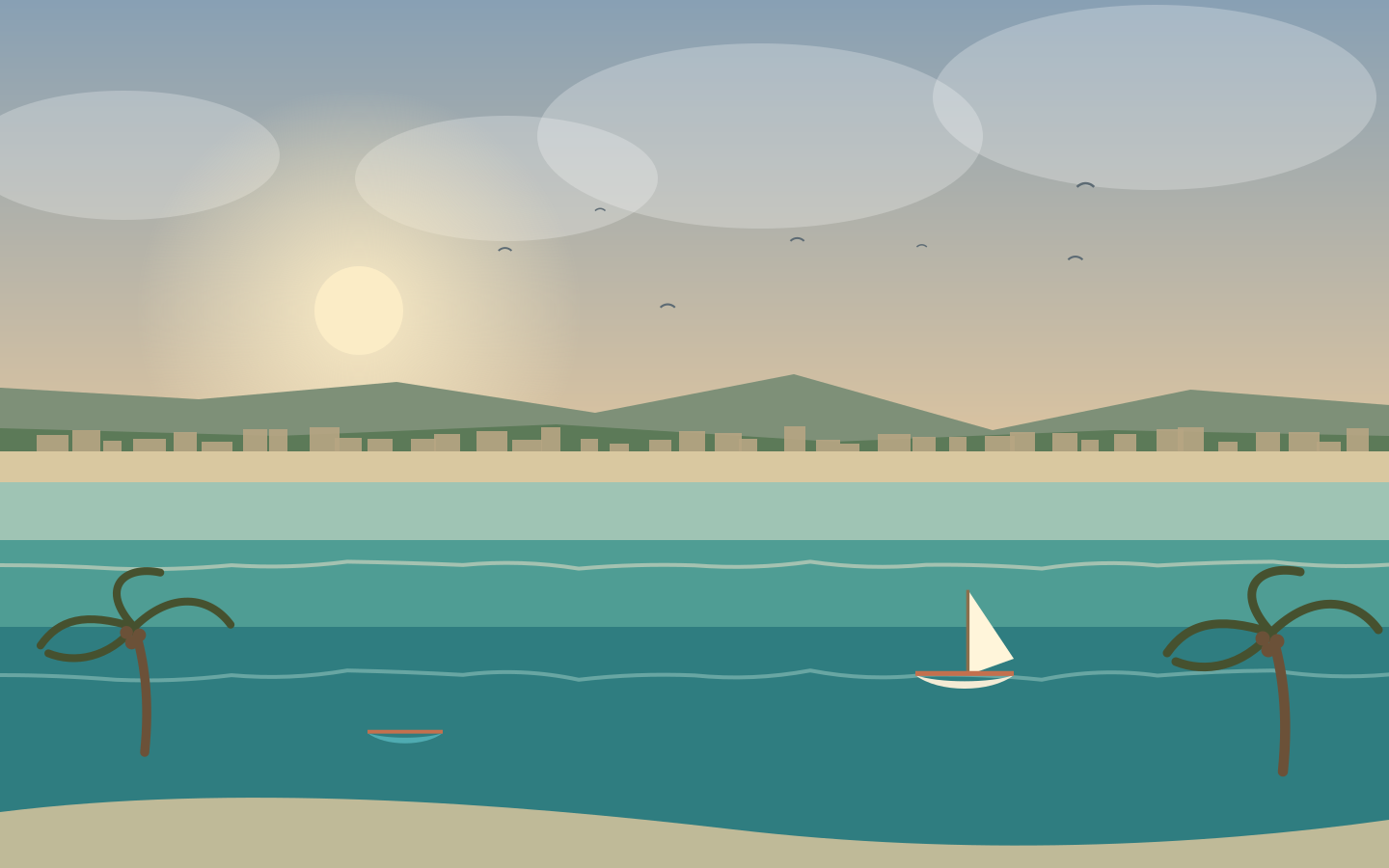
Sambava keeps watch over Madagascar’s north-east coast, between the Indian Ocean and the highlands that already announce Marojejy. The town spreads across a low alluvial plain lined with coconut palms, where several rivers reach the sea. It is the gateway to the SAVA region — Sambava, Antalaha, Vohémar, Andapa — the “vanilla triangle” that perfumes the world.
The trade wind blows here all year round: mornings are clear, afternoons windier.
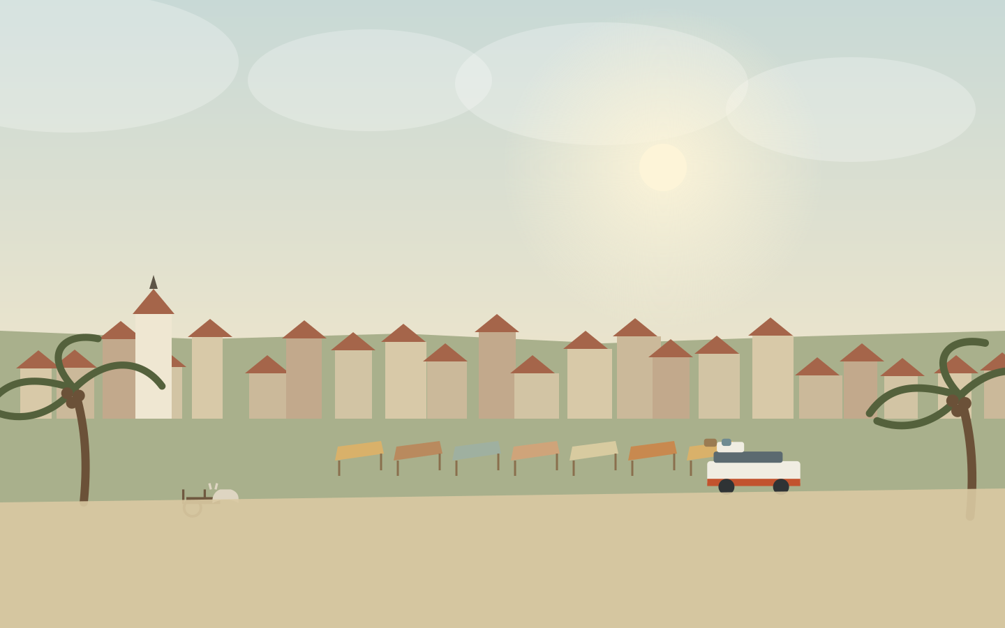
The centre fits between the market street and the waterfront. Each market day brings its own crowd — Antaimby on Tuesday, Ambodisatrana on Friday, Antanifotsy on Saturday — and fills the streets with fruit, dried fish, chillies and vanilla pods. The shops line up straw hats and sacks of copra, while bush taxis wait to carry travellers to Antalaha or Andapa.
The bazary and the vanilla
Under the bazary stalls, SAVA vanilla sits alongside rice, coffee and spices. The dark, supple, glossy pods are traded like precious metal: together with Antalaha, Andapa and Vohémar, Sambava keeps Madagascar’s vanilla flowing to the perfumers of the world — the country is the largest producer on the planet. Come to the main market in the morning, when the carts are being unloaded and the vendors set out their basins.
The market street
Around the bazary, the shops overflow with cloth, hardware and brightly coloured wraps. Carts work their way up the main street between greetings in Malagasy, and bush taxis load their roofs with sacks and baskets. At midday you shelter under the arcades; in the evening the grillers light their coals at the corner of the streets.
Down to the waterfront
Between the bazary and the beach, the lanes slope down toward the lido. You meet fishermen coming home, water carriers and children coming out of school. At sunset the town turns its face to the sea, and the air smells of grilled fish and vanilla.
The pleasant hours are early morning and late afternoon, when the trade wind cools the streets.
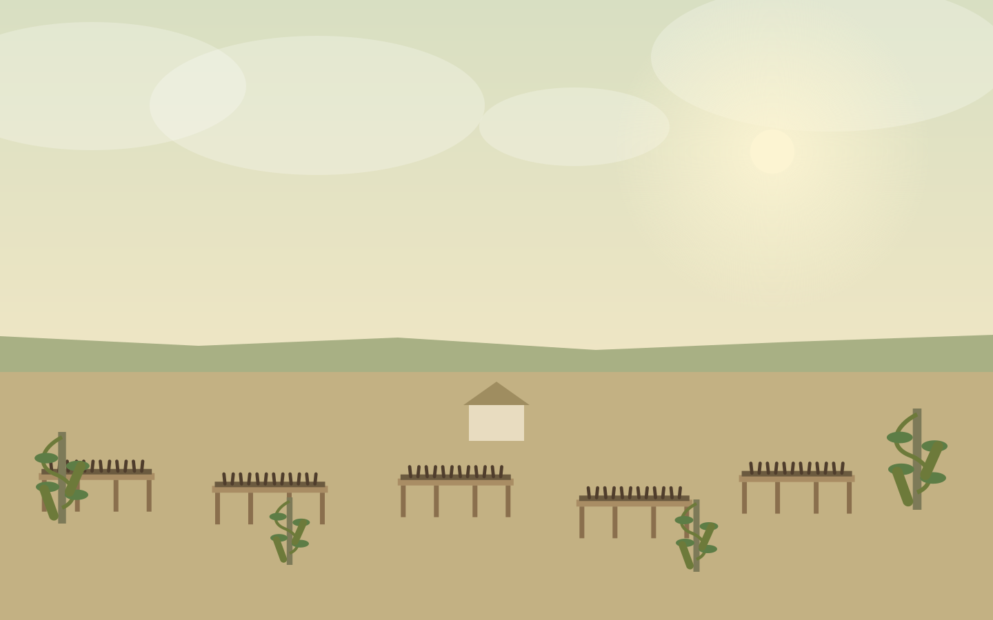
Vanilla is a climbing orchid: it flowers in June and July, then the pod ripens for eight to nine months before it is picked. A long craft follows: scalding in hot water, steaming, sun-drying on racks, then curing in wooden boxes for months. The SAVA region supplies the bulk of Madagascar’s vanilla, close to 60% of world supply, sorted by hand pod by pod before it leaves for the perfumers of the world.
A vanilla plantation is not a museum: growers will gladly open their drying shed if you ask respectfully.
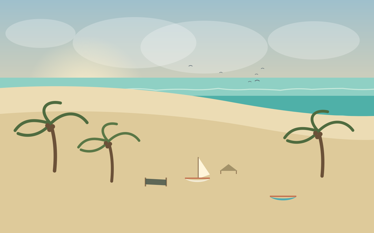
The waterfront runs out for nearly three kilometres of pale sand, lined with coconut palms and a few beach shelters. At dawn the outrigger pirogues come home from fishing and the first swimmers arrive; on Sunday afternoon the beach becomes the town’s living room. Facing east, the sun rises here directly out of the ocean: you walk along the waterline, you watch the waves, and the town stays in the background, white under the palms.
Swim with care, the currents are strong; in the early morning the pirogues have right of way.
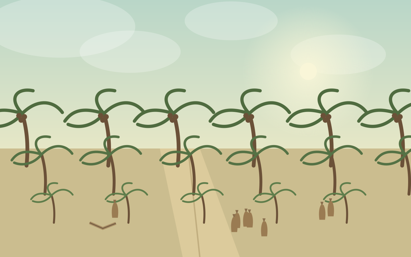
South of town, the Soavoanio plantation lines up its coconut palms across nearly five thousand hectares: one of the largest coconut plantations in the world. You enter along a straight avenue, between thousands of trunks leaning toward the sea; further in, the teams gather the nuts, open them and set the copra out to dry. With vanilla and rice, coconut is one of the three crops that sustain the Sambava plain.
The plantation is crossed along the Antalaha road; cycle or drive through it at the pace of the carts.
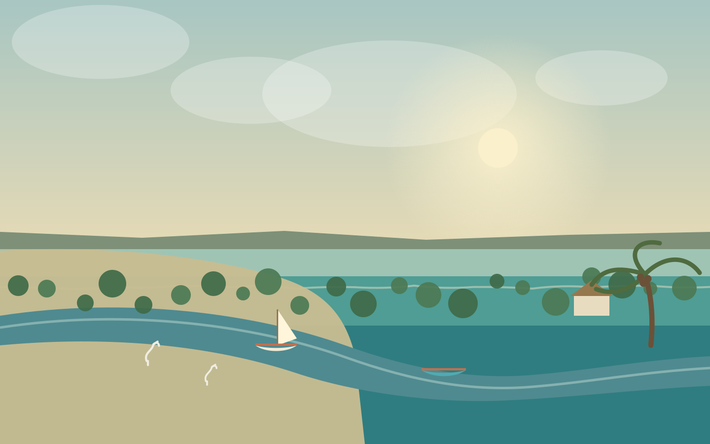
Farahalana stretches along the edge of its estuary, between the river and the coconut groves. Outrigger pirogues slide out toward the sandbanks on the high tide; on the bank, copra is loaded and nets are mended. It is a village of fishermen and growers, set on the Antalaha road, where the fresh water draws a wide loop before joining the ocean. It is also the village that gave his stage name to the singer Nono Sambava, whose voice accompanies this journey.
Village life follows the tide: come early in the morning to see the pirogues coming in.
The Marojejy massif raises its forested walls above the coastal plain. From Manantenina, a single trail climbs from lowland forest to the clouds, passing through three camps — Mantella, Marojejia, Simpona. Along the way you meet one of the rarest lemurs in the world, the silky sifaka, called simpona here, and orchids by the thousand. Listed as world heritage together with the eastern rainforests, the park is also a sacred mountain for the people of the region.
Arrange a guide and porters in Manantenina or Andapa; the final climb to the summit takes four to five hours.
Access
66 km west along the RN3b, Manantenina visitor centre
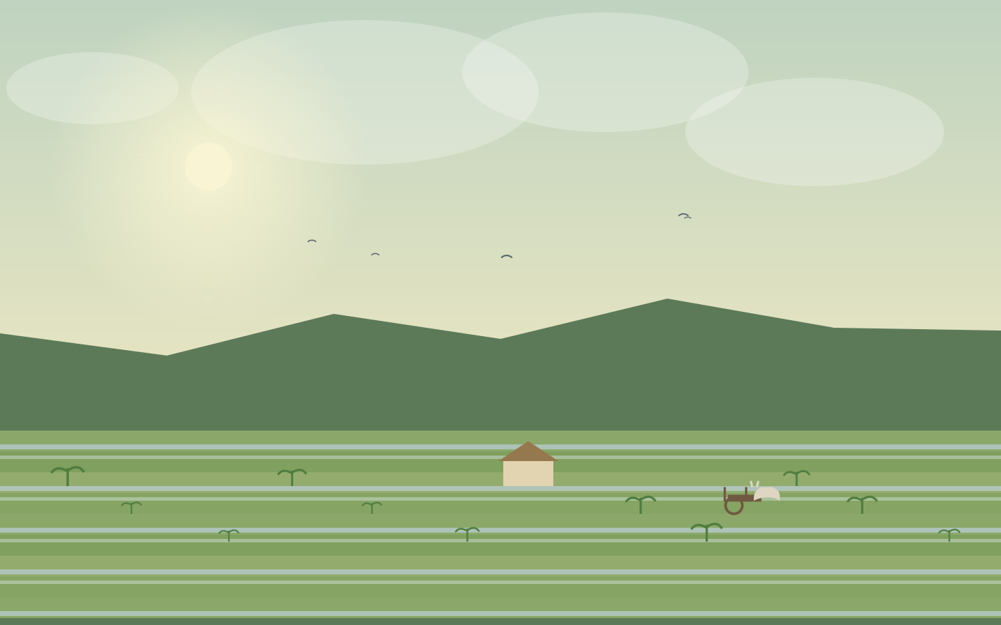
At the end of the RN3b, the road descends into a wide bowl ringed by mountains: Andapa, the “rice granary” of the north-east. Rice fields cover the whole floor of the valley, cut into small flooded plots, and market gardens — tomatoes, beans — climb the slopes. The town is also the starting point for the Anjanaharibe-Sud highlands forests and a stage on the Marojejy trek.
The road from Sambava runs along the Lokoho and its rapids; allow a full day for the return.
Two kilometres south of Andapa, two waterfalls drop from Mount Ankitsika and meet in a shaded pool. The water is not only beautiful: it irrigates the rice fields, feeds the town and turns the fish ponds. The spring is also a place of tromba worship, where people come to ask the ancestors for their blessing. A local guide accompanies visitors along the torrent, between rocks covered in moss.
Ritual site: ask permission before you approach, and stay discreet during the ceremonies.
South of Andapa, the Anjanaharibe-Sud special reserve protects one of the last great primary forests of Madagascar, between 500 and 2,064 metres above sea level. More than three metres of rain falls here every year: the trees are covered in moss, the Fotsialanana and Marolakana rivers rise here, and the mist never quite lifts. It is a two to three hour walk from the road to reach Camp Indri, where the silky sifaka still survives.
Access is said to be easier from October to December; bring boots, rain gear and an escort guide.
Access
Andapa, then 25 km of road and two to three hours on foot